
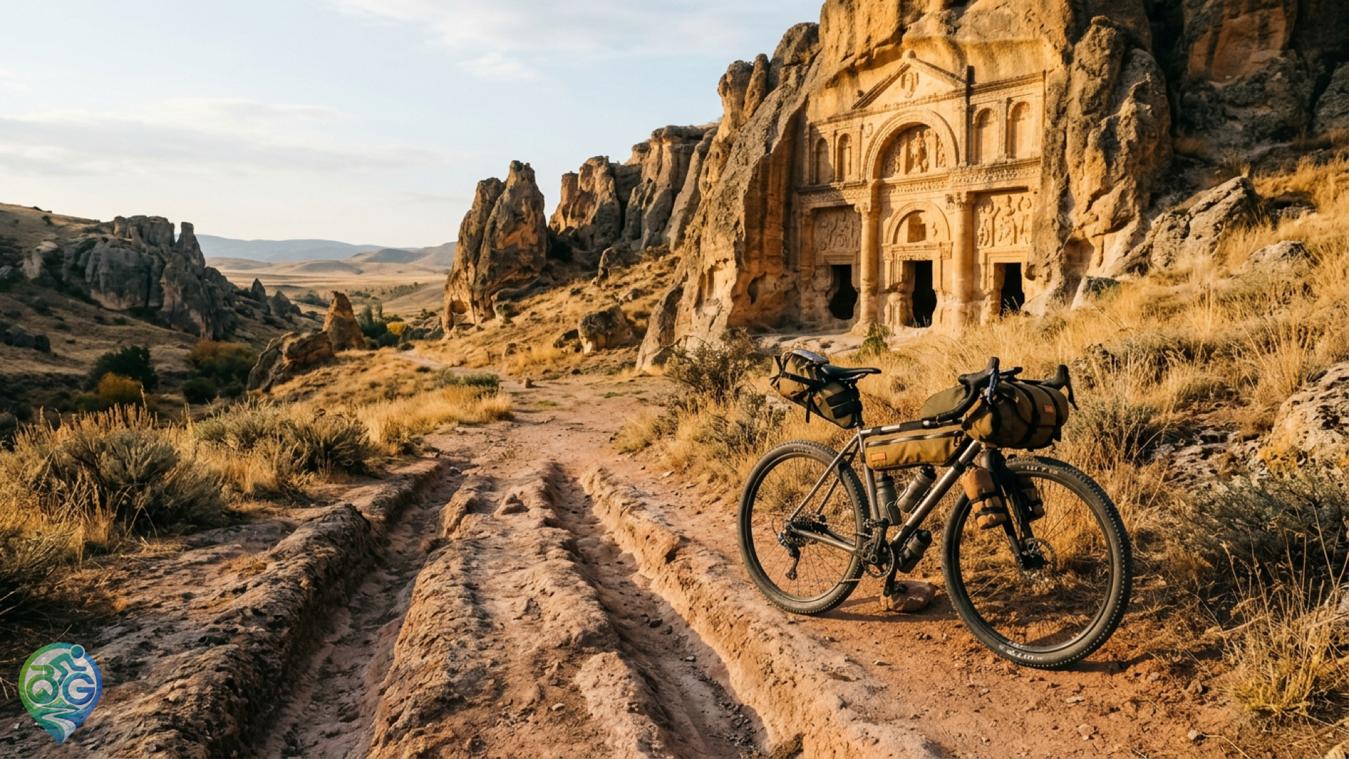
Spanning the rural plateau where Afyonkarahisar, Eskişehir, and Kütahya converge in Central Anatolia, the Phrygian Valley offers one of Turkey's most compelling terrain backdrops for self-supported adventure riding. Carved into golden volcanic tuff formations, monumental rock-cut facades, rock sanctuaries, and centuries-old chariot cart ruts create a natural cycling corridor that bypasses heavy traffic completely. Phrygian Valley bikepacking demands a gravel or mountain setup capable of negotiating loose volcanic gravel, hardpack farming doubletracks, and exposed ridgelines while navigating between quiet Anatolian farming hamlets.
Route stages, terrain profile, and navigational reality
The definitive loop connects the southern trailhead at Seydiler near Afyon to the iconic monumental facade of Yazılıkaya (Midas Monument) in Eskişehir via Ayazini and Göynüş Valley. Covering roughly 140 to 180 kilometers depending on trail detours, the elevation profile features repeated punchy climbs across volcanic plateaus. During dry autumn conditions, the hardpack surface provides fast-rolling momentum, but sudden rain turns decomposed tuff into abrasive clay that quickly packs between the fork and rear stays. Afternoon headwinds sweeping across the open Anatolian steppe can add noticeable physical resistance during exposed ridgeline crossings.
Riders should run a minimum tyre width of 40 to 45 mm with aggressive side knobs to maintain grip on loose scree descents. Jagged volcanic rock fragments present persistent sidewall tear hazards, making reinforced tyre casings and fresh tubeless sealant essential precautions. Reviewing our gravel bike tyre selection and tread width guide helps optimize tire pressures for mixed volcanic surfaces. Although marked wayposts exist along the official Phrygian Way walking network, mountain tracks diverge constantly into livestock paths. Having reliable offline navigation and checking GPX route files and offline waypoints on a handlebar GPS unit is non-negotiable for remote backcountry navigation.
Bikepacking setup, water management, and wilderness camping
Village distances in the valley frequently exceed 25 kilometers with no commercial supply points between settlements. Maintaining low center-of-gravity handling across rocky chutes requires distributing gear across frame packs, handlebar rolls, and compact seat bags. Following proper bikepacking starter guide and bag layout principles prevents excessive handlebar oscillation when standing up on 14-percent dirt ascents. Heavy water reserves and cooking gear belong inside the central frame triangle. Because bike shops do not exist in these remote canyon sectors, carrying a spare derailleur hanger, tyre plugs, and a master quick-link ensures mechanical self-sufficiency.
Seasonal natural springs in the valley can run dry by late October; carry at least 2.5 to 3 liters of water between rural stops. Primitive wilderness camping is permitted near village fringes and outside designated archaeological boundaries. Lighting open ground fires near porous volcanic monuments is strictly forbidden to protect fragile cultural heritage. Adhering to leave no trace bikepacking campsite practices preserves the pristine steppe ecology. Nighttime plateau temperatures drop sharply after dusk, making an insulated sleeping pad and down quilt essential equipment.

Discussion & Comments 0
Share your thoughts, gear experiences or ask questions about this guide.
No comments yet.
Be the first to share your thoughts!
Join the Discussion
Log in with your Bisikletli Gezgin mobile account to participate in discussions and track your contributions.