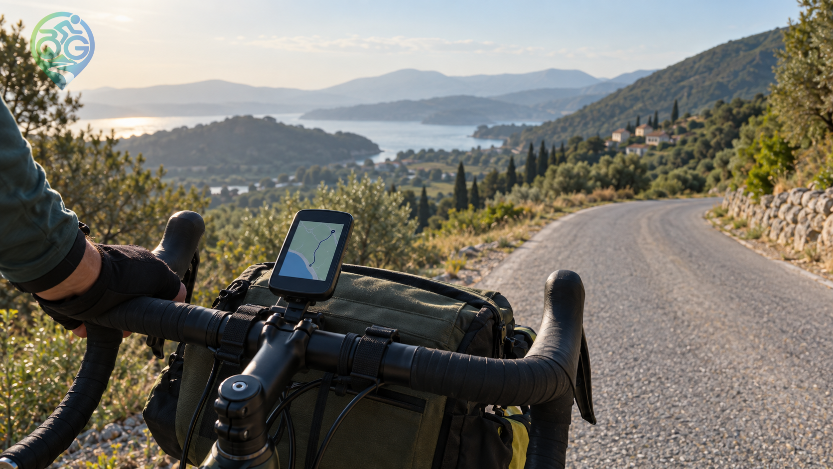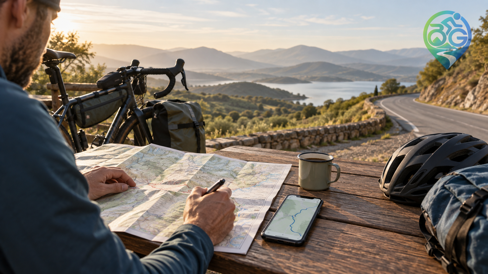
A line that looks beautiful on a map can feel completely different from the saddle. The location of climbs, water, food, road surface and daylight often matters as much as total distance. Spending a little time planning before the ride reduces rushed decisions in the final kilometers.
Define the purpose and time available
Decide whether the ride is training, sightseeing, commuting or a multi-day tour. A two-hour city loop and an all-day rural route need different assumptions. If you are increasing your distance, keep enough energy for the return and choose a loop or a transport connection that gives you a realistic escape route.
Study elevation before distance
Two routes with the same distance can demand very different effort. Check total elevation, the steepest sections and when the climbs occur. A short route with three sharp ramps may be harder than a longer route with steady gradients. Use that information to plan gears, breaks and food.
Confirm surface and traffic
Do not automatically choose the shortest line. Heavy traffic, a missing bike lane or a long loose section can add risk and time. Compare the map with recent rider reports and, when possible, satellite imagery. Add an alternate connection when a road is unfamiliar or mobile coverage may be poor.
Mark water, food and rest stops
Do not assume that every fountain or shop will be open. Mark reliable resupply points, shade, toilets and places where you can safely stop. Carry at least one spare snack and enough water to cover the longest uncertain section.
Prepare the GPX and a fallback
Open the GPX before leaving and check the start, finish, private-property crossings and closed roads. The GPX route viewer can help you inspect the course and elevation. Keep a shorter return option, a transit stop or a safe waiting point in mind. Changing the plan at a safe place is good route management, not failure.